On Sunday July 13, 2014 I hiked on a long-ish (10km or so) multi-use path on Edmonton’s south side. The path began at Cameron Heights Road and EL Smith Road – just off Henday Drive – and ended at 106 street and 29 avenue. This trail is paved, and cleared in the winter.
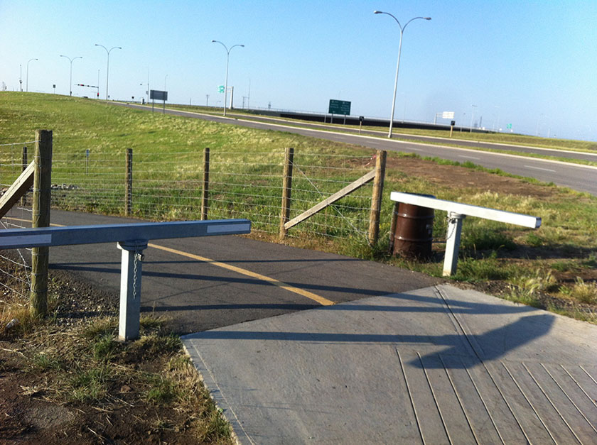
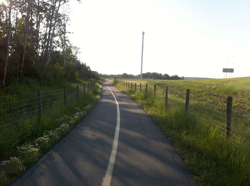
The forecast was for a hot day, so I set off from the Cameron Heights trailhead at 7:20am in an effort to beat the heat. I thought that few would be up and out this early, but within minutes I passed two lovely Indian women picking wildflowers in their flowing robes. For the first kilometer or so, the trail was enclosed in a wire fence. I wasn’t exactly sure why, but I presumed it was to prevent the making of “cowpaths” through the grass, and to keep dogs from running onto the freeway.
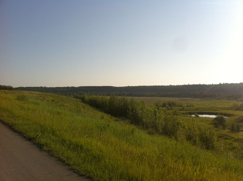
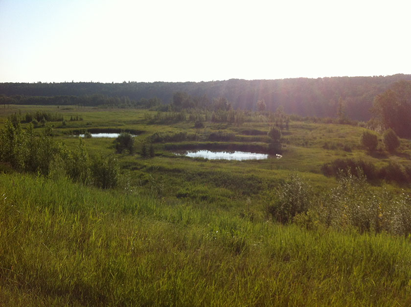
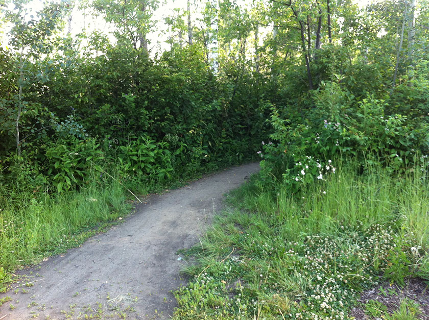
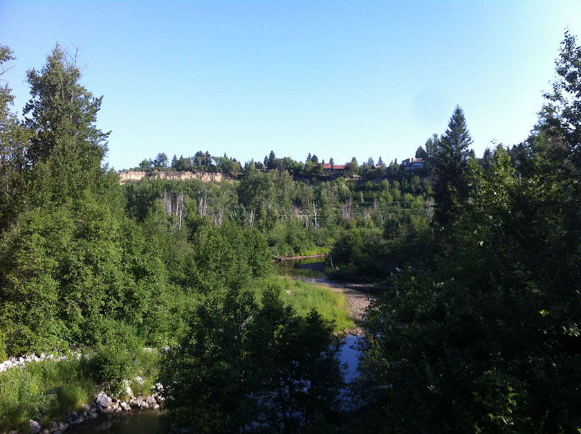
At just over a kilometer, the trail started to dip into the river valley. This segment was fairly steep and curvy – cyclists should be cautious and watchful for pedestrians. With the Henday bridge a few hundred meters away, the trail flowed into a meadow-like area that sat in elevation between the upper bank and the river. It’s a very beautiful, picturesque area that is easily missed from the busy freeway beyond. It was tough to get good pictures with the sun rising in the east, but I did manage to grab a few half decent shots. These images do not do the area justice, though – it must be seen to be appreciated.
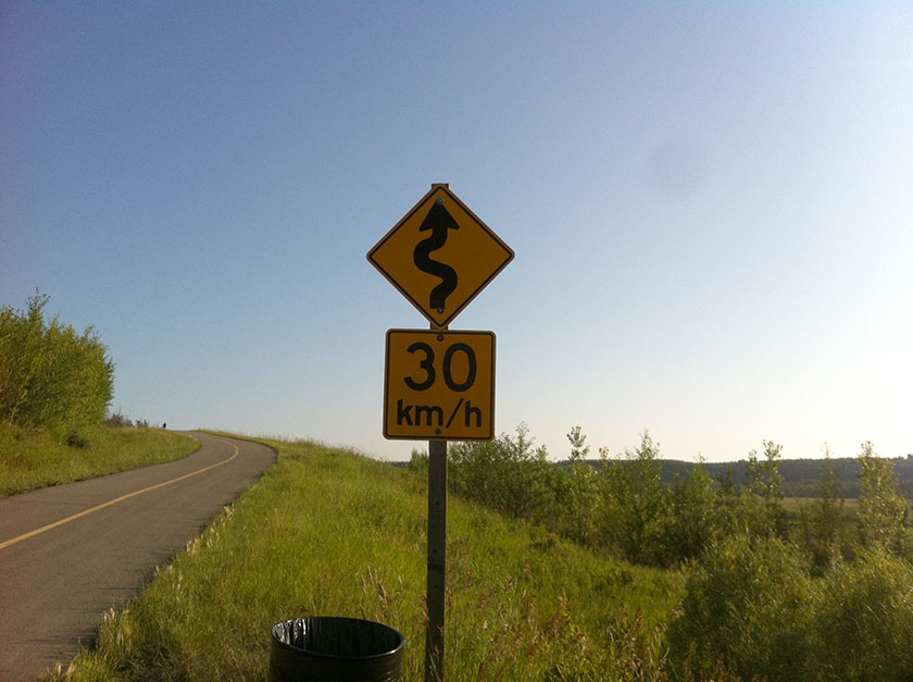
Near the bottom of the trail, I turned back to survey the upward path and was surprised to see a speed limit sign. 30km/h, uphill. It’s obviously meant for vehicles, but there is no indication of a vehicle track (unless the multi-use path is used also for maintenance vehicles).
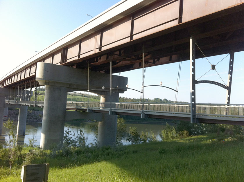
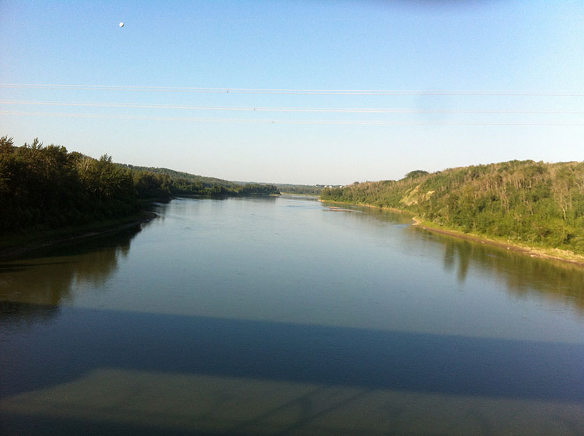
It may surprise some, but the Anthony Henday Bridge has a pedestrian walkway beneath it1. This walkway is entirely hidden from the road. I had no idea that it existed until I looked at a trail map. The jaunt across the bridge provided some needed shade, and presented some middling views of the river valley (looking SW from the walkway). Not spectacular, but interesting.
After the bridge, the trail wound gently for a spell through some forest and a pleasant grassy area. It then began to climb out of the valley at a decent grade. By this time in my journey, there were many cyclists on the trail, all with the same goal of getting a sweat on before the heat set in. About halfway up the climb, the entrance to a hiking trail was visible off to the left. This would be easily missed on a bicycle, but was easy to spot on foot.
That trail leads to Terwillegar Park – about 2.5km from this point. I didn’t hike it this time round, although I have done it from Terwillegar to this point. It’s tree-covered for the most part but in places it opens up to excellent SW views of the river valley. I highly recommend this trail, and it’s a bit of a mystery why it isn’t properly signed2.
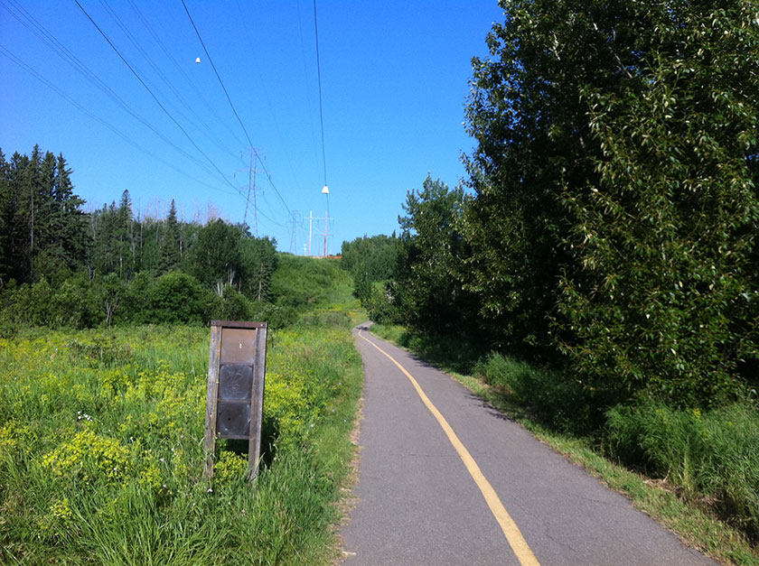
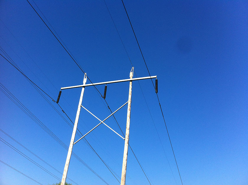
From there the trail wound and climbed out of the valley and finally surfaced in a wide corridor used for electrical power lines. At first blush this seemed unattractive, but it wasn’t bad once I set myself for the long walk ahead. The Terwillegar Footbridge was visible in the distance, as was the uphill, winding path to its crossing level.
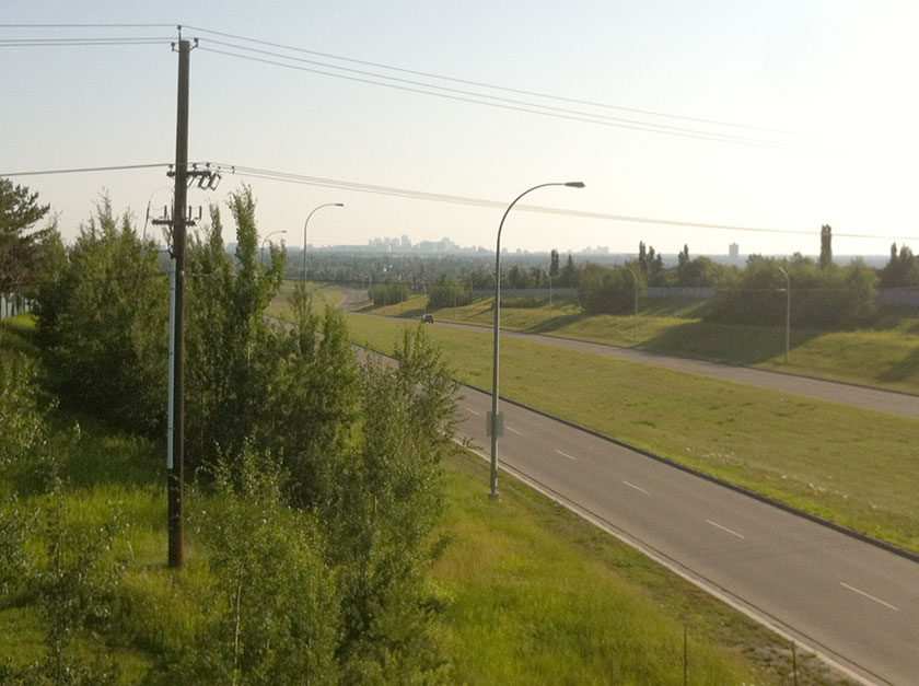
In short order the Terwillegar Footbridge presented itself and offered a short, easy uphill climb. At the western edge of the bridge entrance, there was a nice spot with a great view northwards that included the distant buildings of downtown.
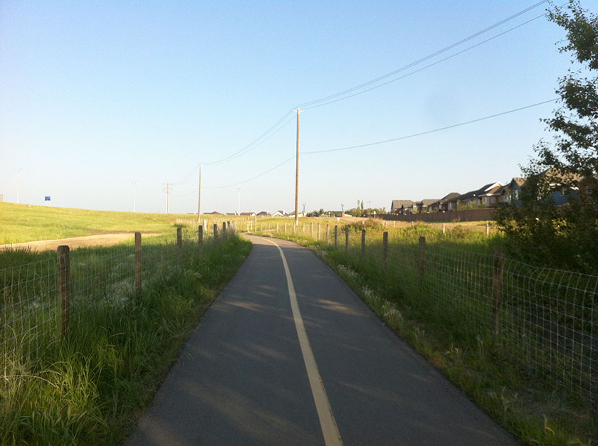
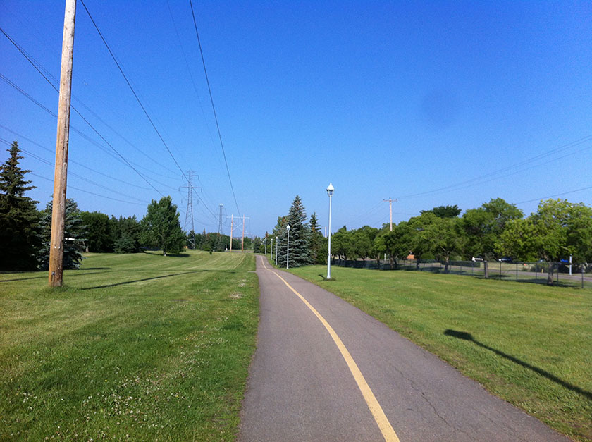
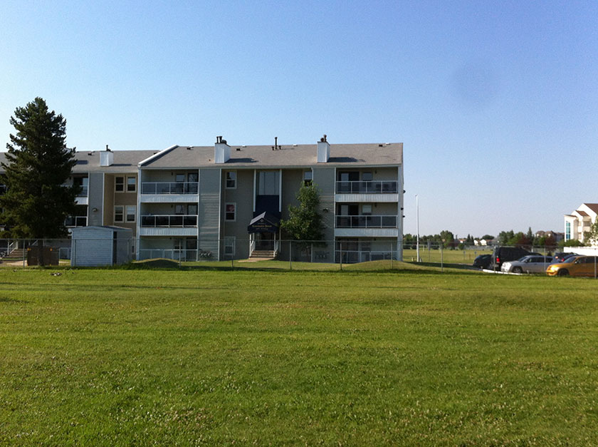
It was a natural spot for a rest, and I came across two groups of cyclists stopped on the bridge, chatting and whiling away the morning. After the bridge and until its juncture with the Ogilvie Ridge trail near Whitemud Park, the trail was flat and basic. Aside from an electrical substation nestled a little too close to a residential neighbourhood, and the sides/backs of uninspired 90s-era bungalows, there wasn’t much to see on this stretch of the trail. That said, it would be a nice place for running – no distracting scenery, hills, or traffic (oh, that distracting scenery!).
The trail eventually intersected with the Ogilvie Ridge trail, located at the southern tip of Whitemud Ravine Nature Reserve. There was a pleasant bench at the intersection which made for a nice resting place on a hot morning. The Ogilvie Ridge trail, despite winding through a kilometer of residential area, leads to Whitemud Ravine (again, there is no sign indicating this). From there one can travel via hiking trail to the Whitemud freeway or even further north to Fox Drive.
Just past the junction, the trail swiftly descended into Whitemud Ravine, and I caught a glimpse of the exceedingly steep uphill trail on the other side of the ravine. Note that accessing Whitemud Ravine is done from the Ogilvie Ridge trail, not from this point.
A bridge crossed over Whitemud Creek and provided a pleasant spot from which to enjoy the natural beauty of the ravine.
After enjoying an idyllic respite on the creek, I buckled up for a steep uphill climb to the top the ravine. I saw two cyclists who looked like real pros dismount their bikes and walk up the last 1/3 of the way.
From here the trail flattened out again and continued its eastward flow. Suddenly, I found myself in deep south Edmonton – Blue Quill to the south; The Derrick Golf & Winter Club to the north. In short order the trail crossed 119 street, then Saddleback Road and the LRT line at 111 street. From there on in, the trail was surrounded by condos and retail stores.
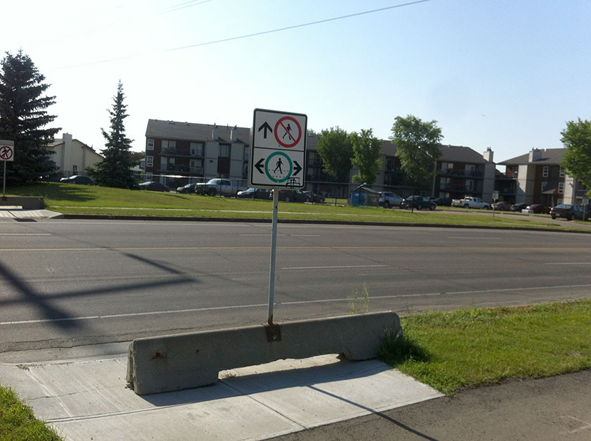
Once past 111 street, it was an easy walk to the “end” of the trail, located at 106 street, just north of 29 avenue. The trail ended unceremoniously with a “no walking” sign and a concrete parking barrier. It’s also clear that the trail does not continue across the street – there was a sign and barrier there as well.
This trail was not the most scenic, but it may be one of the longest continuous runs of multi-use pathway in Edmonton. Long stretches of flat, paved, trail with no car traffic concerns (also: cleared in the winter) are a plus for runners, and the hill challenges at Whitemud and Cameron Heights might/might not be enough for some cyclists. I don’t think I’ll do the entire trail again, but I’ll certainly revisit the scenic Cameron Heights and Whitemud segments.
Notes
1 To be precise, the walkway is beneath the south/east-bound portion of the divided road bridge.
2 This is a common complaint I have with some portions of Edmonton’s trail system. Some worthy side hikes, trails, and ravines are simply not signed properly (i.e. Kinnaird Ravine; Kennedale Ravine). In the case of this path, the short answer is that it’s an unofficial trail – likely laid by the Edmonton Mountain Bike community. Nonetheless, it should be hiked. It’s beautiful.