This was a nice 2hr circuit in Edmonton’s west end. I began my walk in the evocatively-named but nearly viewless Buena Vista Park (The “features and amenities” listed for this park on The City’s website include park benches and a parking lot), which lies on the north side of the river – across from Hawrelak Park, and adjacent to Laurier Park. The park is most often accessed via the Hawrelak Park footbridge, and is a favourite of dog owners city-wide.
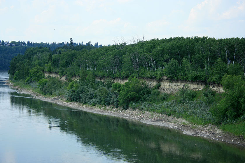
My hike began on the Hawrelak footbridge, which features a great view of the cliff-like bank on the perimeter of Hawrelak Park.
Once over the bridge, I came to what is known as “dog beach” – a launch-like ramp down to the river’s edge that has been adopted by dog owners as a cool-down spot for hydrophilic canines. There were plenty of dogs splashing around but it felt intrusive to snap a shot.
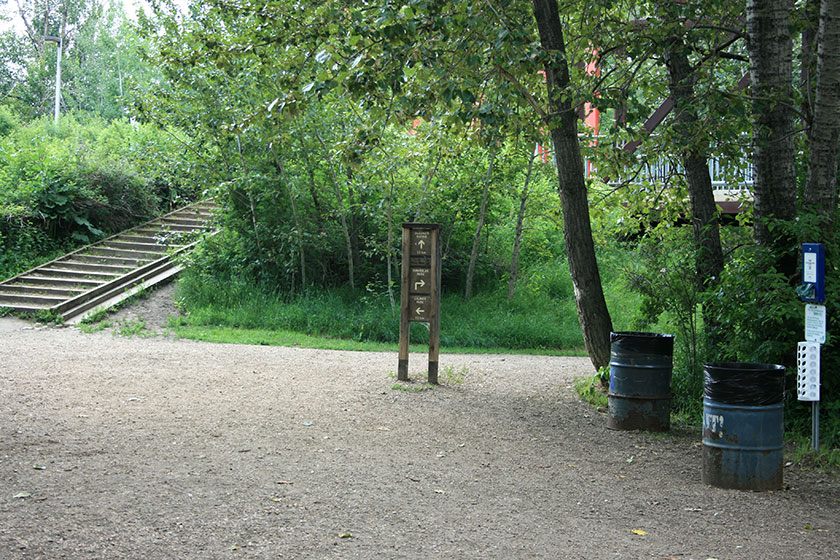
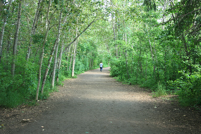
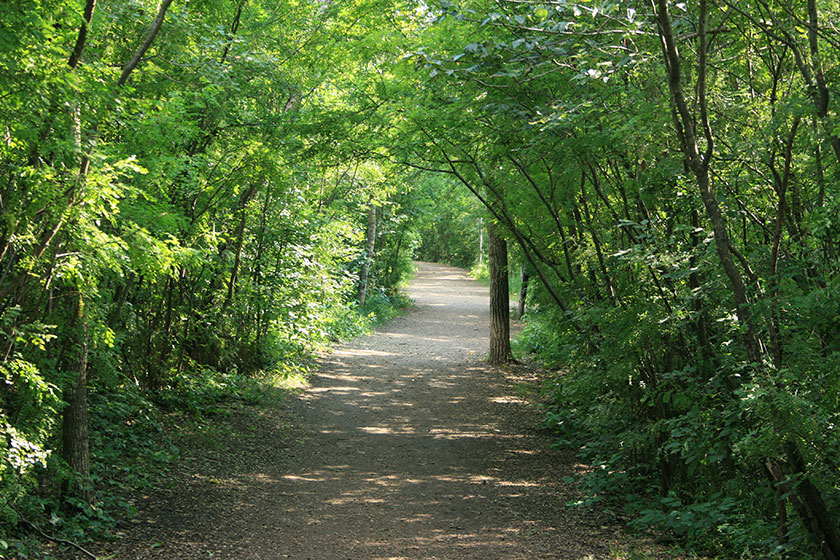
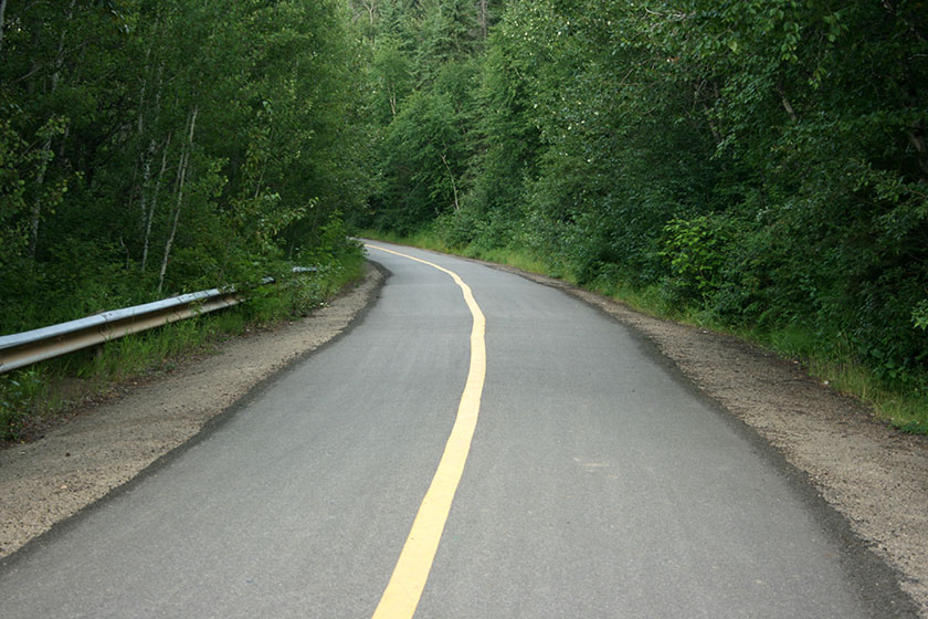
From there I turned south on the granular hiking trail that runs along the riverbank. This section of the trail opened beautifully with a wide, tree-lined walkway.
There was a fair amount of bank erosion, and portions of the trail were closed.
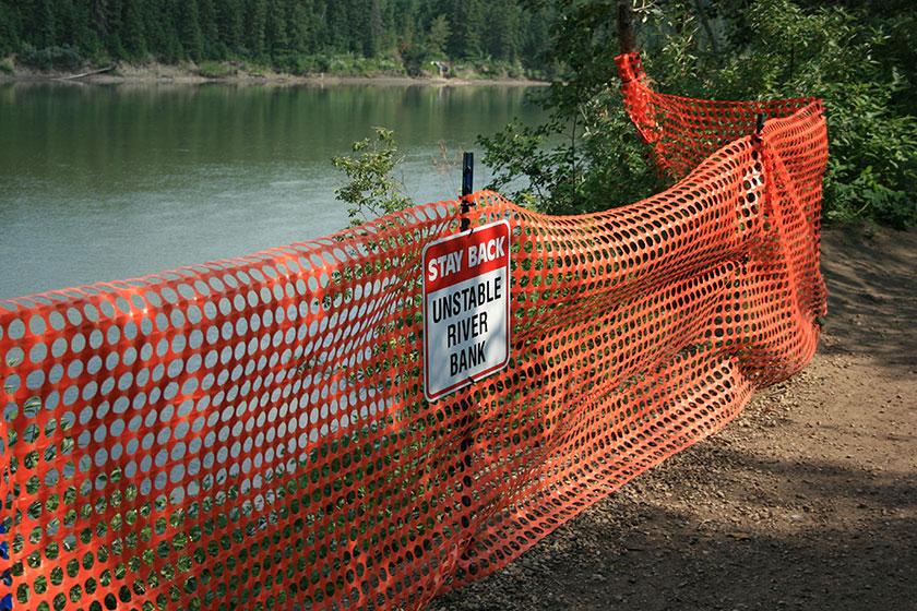
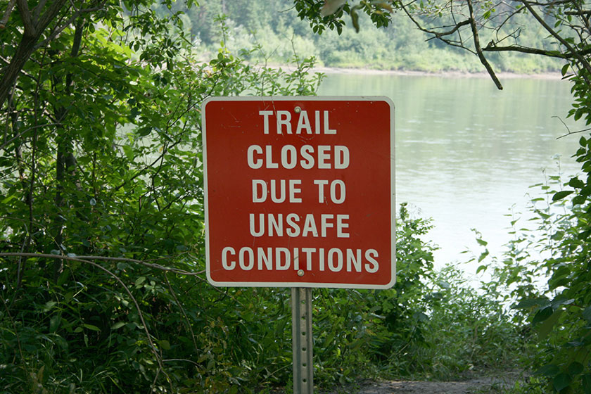
Despite closures and erosion, the trail was a pleasant, flat hike that should be accessible to anyone of reasonable fitness. It was a mere 1.3 kilometers to Laurier Park and the Valley Zoo.
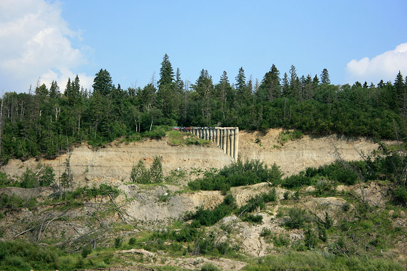
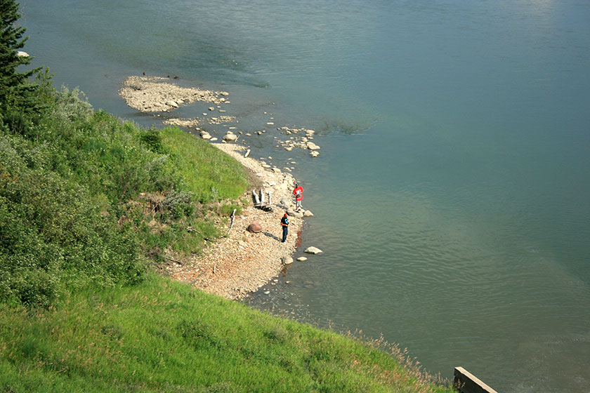
I was looking forward to an across-the-bank glimpse at Edmonton’s End of the World, a ruin of sorts – a remnant of the long gone Keillor Road (parts of which are still walkable on this trail – see below). The End of the World sits on an embankment below the Belgravia neighbourhood and is easily, regularly accessed by teenagers and many others. It’s quite a sight from across the river (see below for close up pic from beneath).
The trail meanders past the Edmonton Rowing Club where you may see exceedingly fit, strong, young people hauling boats into the water. There was no shortage of lovely trail corridors either.
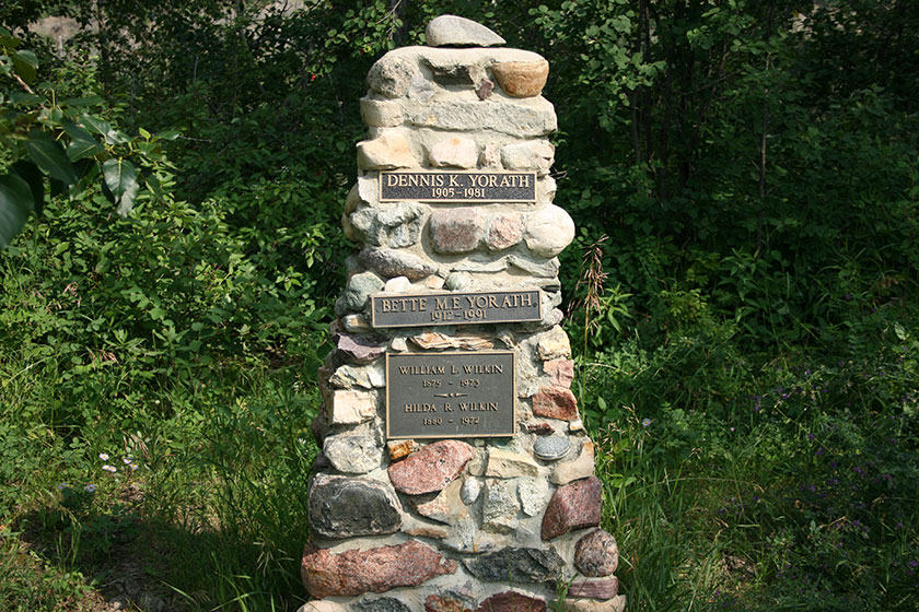
In a yard-like clearing near Laurier Park, I came across a cairn/grave marker for Dennis Yorath and his wife Bette, former owners of a house, now owned by the City, that sits in the park. It’s one of the few houses that sits in the lower valley that isn’t part of a larger neighbourhood. Here’s a PDF brief on the house, if you’re interested.
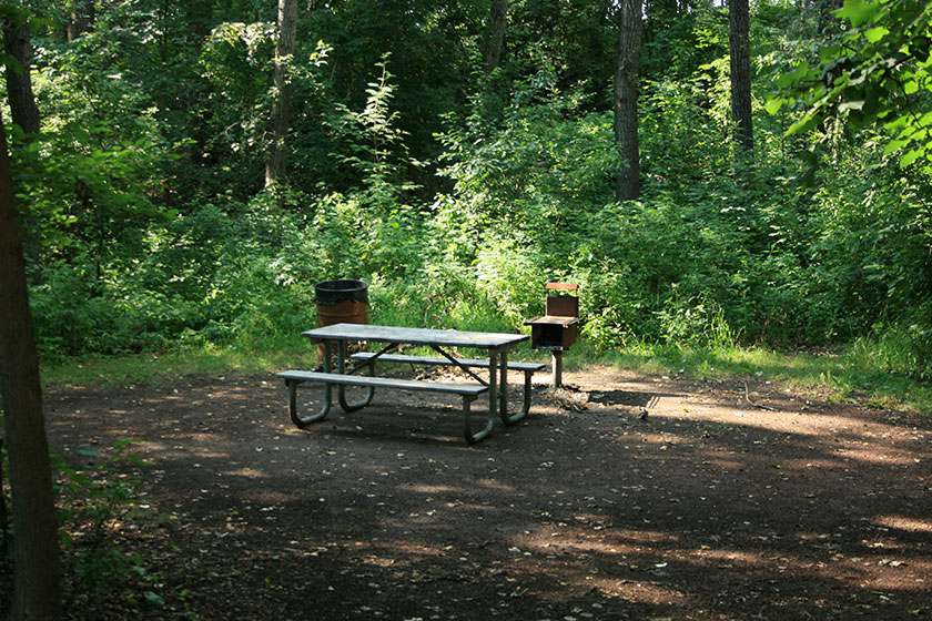
I then made my way into Laurier Park (a skip up Buena Vista Road was required to rejoin the trail). The park isn’t spectacular, but has its coolness. A few secluded ball diamonds, lots of open picnic area, and some nicely secluded picnic spots lining the trail. Some looked a little ramshackle and overgrown, but were still really nice.
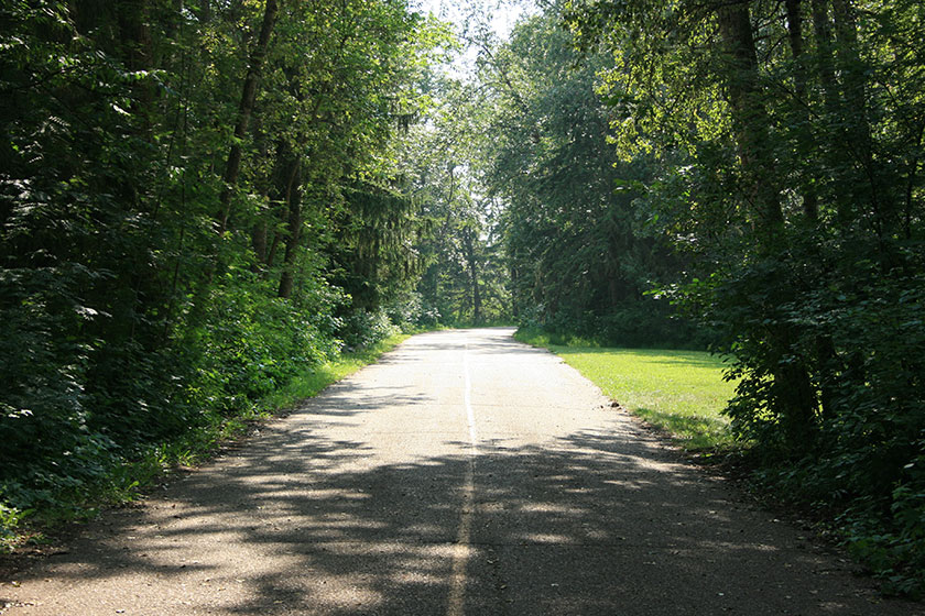
The granular hiking trail eventually turned into a paved multi-use pathway and its entrance was especially lovely in the early evening light.
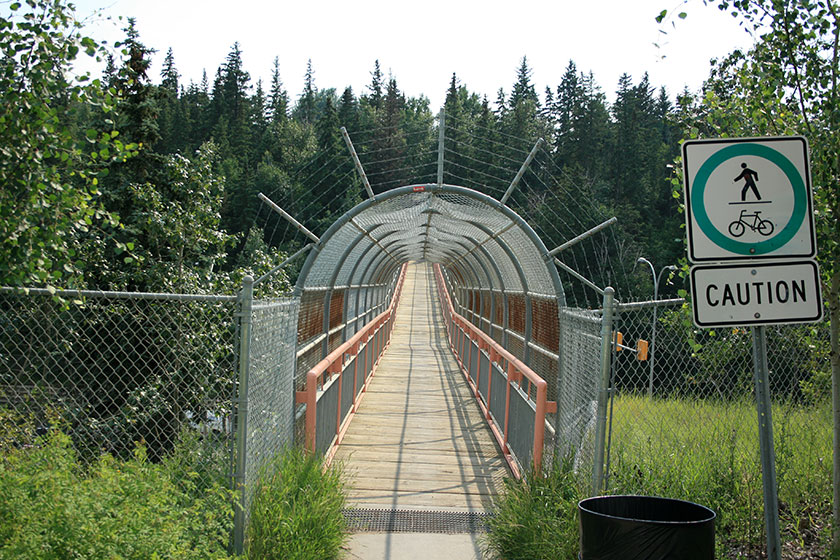
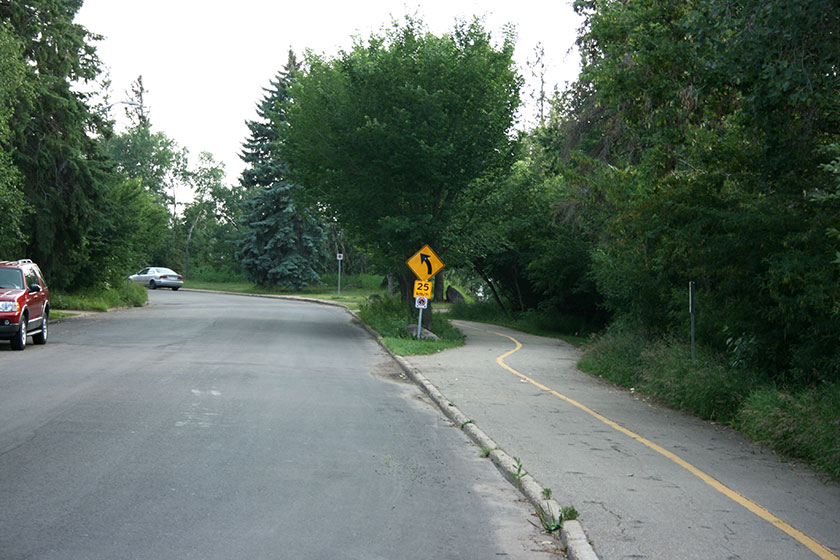
Near the Quesnel Bridge a branch leads up to Laurier Drive via a stairwell. It was an easy climb – not nearly as gruelling as the stairs in Whitemud Park or Patricia Ravine. From Laurier Drive at the top of the bank, it was a short walk to the Whitemud Drive Footbridge – a pedestrian-only bridge that crosses the busy roadway. I’d never walked it before, and wanted to cross it off the list. The traffic noise on the bridge was deafening.
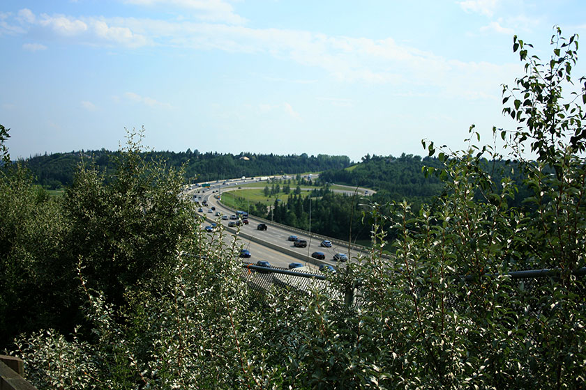
After that uneventful and noisy crossing, I doubled back and hit the multi-use path down to the Quesnel Bridge. Some decent views of the freeway can be had from high on the path, near the staircase.
Near the bridge, and bearing the full noise load of a freeway at rush hour, I noticed a couple dudes fishing in the river. Kudos, boys!
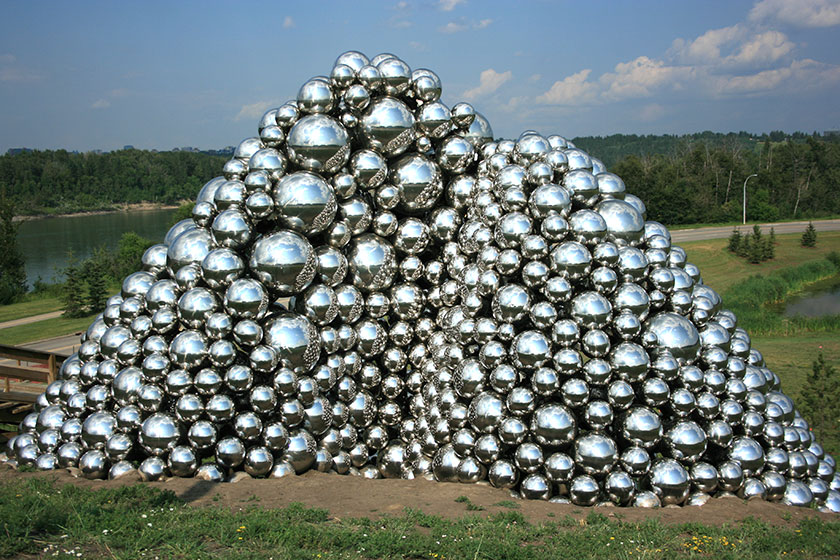
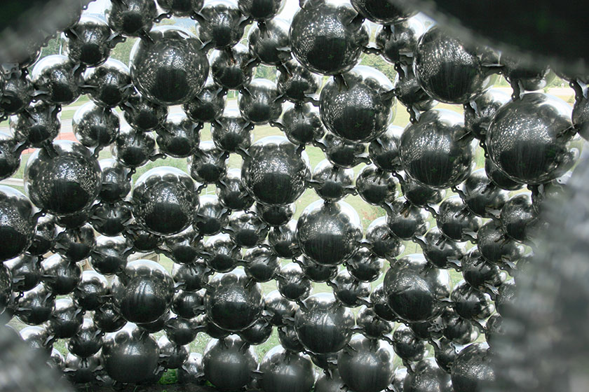
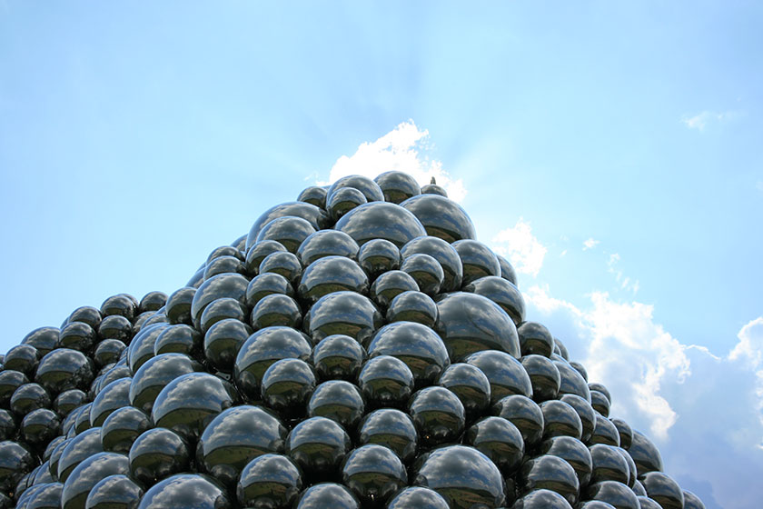
Upon crossing the Quesnel on foot, I came to (IMHO) Edmonton’s most striking and controversial piece of public art, The Talus Dome. You’ve probably seen this pile of ball bearings from the Whitemud, but it’s something else to see it up close. Here are a few pics, including one from inside the dome1. This piece gets a bad rap from many, but I would encourage all doubters/haters to visit the dome on foot to fully appreciate it.
From the Dome, now on the south side of the river, I made my way through the northern part of Whitemud Park. I walked part of the “Forest Capital Trail”, the trailhead of which is just off the multi-use path.
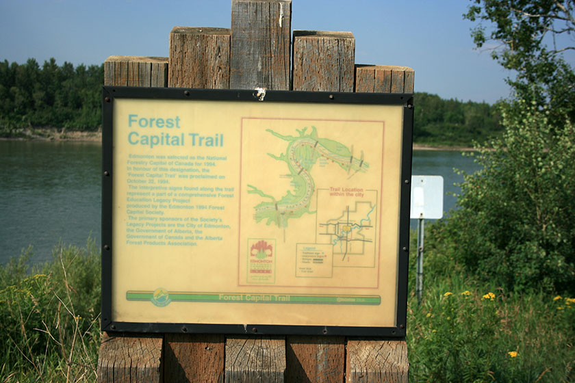
This trail isn’t maintained, and isn’t shown on the official River Valley Trail Maps. The trail eventually leads to the bank below the aforementioned “End of the World”. Parts of the trail are also dangerously narrow and deteriorated.
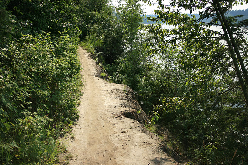
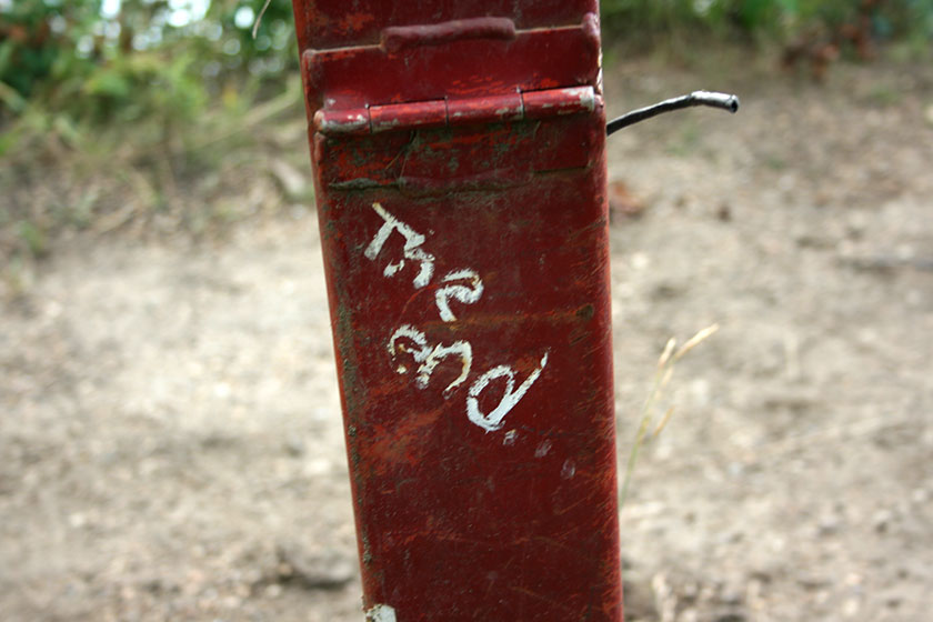
Despite this, there were fresh bicycle tracks. The trail ended at a chainlink fence and a no trespassing sign, but there was a well-worn path around to the other side. A few meters past that point, and up a super-steep embankment, The End of the World presented itself.
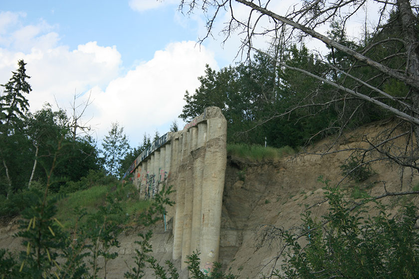
The End of the World was interesting from this vantage point, and it made me miss Keillor Road and its spectacular view. From this point, it is possible to continue under the ruins and along the riverbank back to Hawrelak Park, but it’s quite steep, narrow, and dangerous. I chose to double back on the hiking trail to the multi-use track. Part of the trail is paved over the old Keillor Road, much narrower than I remember, and some of its barricade fencing was left intact. It felt like I was walking on a bit of history.
From there the trail wound its way up to Saskatchewan Drive in Belgravia at a reasonable grade. Nothing too heart pounding, but on a hot evening, it took a bit out of me. Near the top of the bank, I came across a group of young skateboarders tearing up the track, taking turns a little too fast, giving each other a hard time, pushing each other around, and generally being preteen boys. It was great to see them.
From there, it was a 2km jaunt at street level back to Hawrelak Park. It’s a boring stretch, except for some beautifully appointed houses. Once I reached the top of Groat Road, I took the stairs down to Hawrelak Park and concluded my jaunt. This was a pretty interesting 2 hour walk with some great features – a public art piece, some genuine Edmonton ruins and ghosts of Keillor Road, and the (unknown to me) Yorath Memorial. I’d do it again.
Notes
1 Well, nearly inside. The balls are too closely spaced to actually crawl inside the thing. This pic was taken through one of the larger openings.